


What is DroneDeploy?
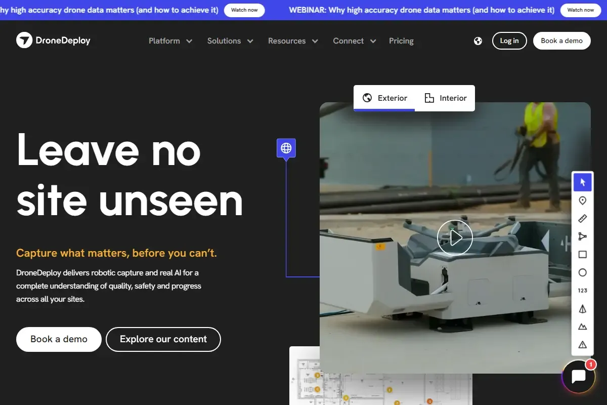
DroneDeploy is a cloud-based drone mapping and reality capture platform used to document, measure, and analyze physical sites from the air and ground. It helps organizations create accurate visual records of land, infrastructure, and projects using drones, 360° cameras, and mobile capture.
While not a climate tool by design, DroneDeploy plays a growing role in reforestation, solar, and environmental projects by improving how sites are planned, monitored, and verified over time.
How DroneDeploy Is Used in Climate and Land Projects
DroneDeploy allows teams to capture high-resolution aerial imagery and turn it into maps, 3D models, and progress reports. In reforestation and renewable energy projects, this makes it easier to assess land conditions, track changes, and document impact without constant on-site visits.
The platform is widely used for:
Site assessment before planting or construction
Monitoring land recovery and vegetation growth
Verifying project progress for reporting and compliance
Improving safety by reducing manual inspections
Key Features
Aerial mapping and 3D modeling
Time-based progress tracking for land and site changes
Automated flight planning and data capture
Cloud-based analytics and sharing
Support for drones, 360° cameras, and mobile capture
Integrations with construction, energy, and GIS workflows
What Makes DroneDeploy Different
DroneDeploy stands out for its ease of use combined with enterprise-grade accuracy. Users don’t need advanced GIS skills to generate usable maps or reports. Data is processed quickly in the cloud and can be shared across teams in real time.
As climate and energy projects scale, visual verification and transparency have become increasingly important. DroneDeploy supports this shift by making site data accessible, consistent, and easy to compare over time.
Adoption and Market Presence
DroneDeploy is widely used across construction, energy, agriculture, and environmental sectors. It has strong adoption among solar developers, infrastructure teams, and land managers who need repeatable, visual documentation.
The platform is well-reviewed in professional circles, with users frequently citing reliability, map accuracy, and ease of collaboration as its strengths. It is often used by mid-size teams as well as large enterprises managing multiple sites.
Pros and Cons
Pros
Accurate site visibility without frequent site visits
Strong support for solar and land-based projects
Scales well from small teams to large operations
Reduces safety risks and manual inspections
Cons
Requires compatible hardware like drones or cameras
Learning curve for advanced analytics
Subscription pricing may be high for small projects
How DroneDeploy Fits Current Industry Trends
As sustainability projects grow, there is increasing demand for verifiable, visual evidence of progress. DroneDeploy fits into this trend by supporting data-backed reporting for renewable energy, land restoration, and infrastructure development.
It complements reforestation and solar tools by handling the measurement and monitoring layer, helping teams move from planning to proof.
Who DroneDeploy Is Best For
DroneDeploy is best suited for:
Solar developers and EPC contractors
Reforestation and land restoration teams
Environmental monitoring programs
Organizations that need visual proof of site progress
It’s not a direct climate action platform, but it plays a critical support role in making climate and infrastructure projects more transparent and efficient.


